FIQUGS
Field Quantum Gravity Sensors
Gravimetry aims at unveiling the density structure of the undergrounds by measuring subtle changes of the local gravity acceleration. The measurement of gravity acceleration and of its variations has proven to be a very powerful technique in the field of Earth sciences, and gravimeters have been used by geophysicists for several decades.
The first generation of quantum gravity sensors (QGs) has received strong interest from many customers, and the market is still growing. But the commercial potential and the positive impact of the technology are not yet fully exploited because of several limitations such as transportability, robustness, user-friendliness, or high operation costs. To overcome the barriers that limit the operational utilization of field gravimetry and develop the solutions that will allow us to address the exploitable market fully, we propose to conduct in FIQUgS the development of several innovations, either at the technological level with improved QGs built upon a reliable and efficient supply chain or in terms of operational methodology.
The development of a next generation of quantum gravity sensors product line, and the services associated with the conduction of field surveys, data acquisition, and data inversion will considerably allow us to develop our capability to address the market of advanced geophysics.
The unique industrial and technological capabilities that will result from FIQUgS will positively contribute to several critical societal objectives, especially the European Green Deal:
- The new field QGs will allow for a reduction of the environmental impact associated to mining activities thanks to a reduction of drilling operations, and civil engineering where it will contribute to more efficient and resilient constructions.
- They will contribute to improved utilization of geothermal energies through the development of non-invasive monitoring capabilities of the energy reservoir.
- They will be involved in CO2 storage operations and contribute to the fight against global warming thanks to these advanced monitoring capabilities.
FIQUgS will also have an impact on quantum technologies markets, such as high-performance navigation or advanced photonics.
ROBOTNIK IN THE PROJECT
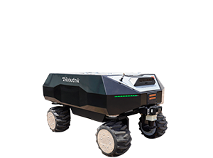
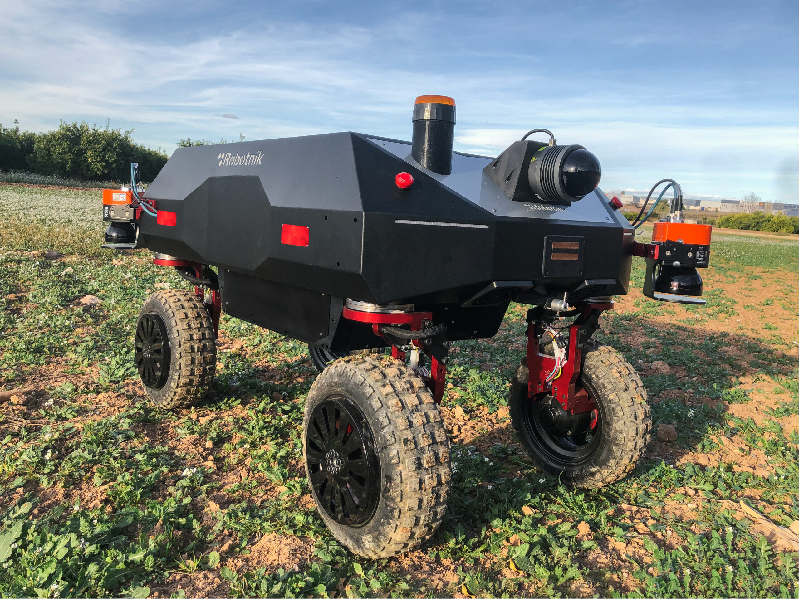
Robotnik’s main role in FIQUgS is to provide a RB-VOGUI XL robot to autonomously perform the gravity analysis of the areas of interest. For this purpose, Robotnik will redesign the RB-VOGUI XL robot to have more payload and more stability, and integrate and transport the gravimeter and the radar devices to perform the required tasks.
In terms of the robot-human interface for FIQUgS, Robotnik will provide a functional interface to create and monitor the missions to cover the areas of interest where the users can define the area to be covered autonomously by the robot and execute and monitor the mission success.
Concerning the software challenges, in this project, Robotnik will focus on autonomous 3D outdoor localization based on GPS-RTK geolocation combined with LIDAR SLAM techniques and a topological navigation 2D1/2 including the traversability analysis of the environment to modify the trajectory of the robot to avoid obstacles or sudden changes in the ground level.
View more projects
